At MLL III Land Surveying and Mapping Services, we take pride in being a Filipino-owned firm that delivers precise, reliable, and cost-effective surveying and mapping solutions across the Philippines. Founded by Engr. Manuel Luis A. Lingan III, a licensed geodetic engineer, our company has grown to become a one-stop shop for surveying services, serving individuals, developers, engineers, and government agencies.
With a team of licensed professionals and experienced field technicians, we ensure that every survey we conduct meets the highest standards of accuracy, legal compliance, and timeliness. Our operations strictly follow the Geodetic Engineering Act of 1998 (RA 8560) and the standards of DENR, DPWH, HLURB, and other government agencies, giving our clients confidence in every deliverable.
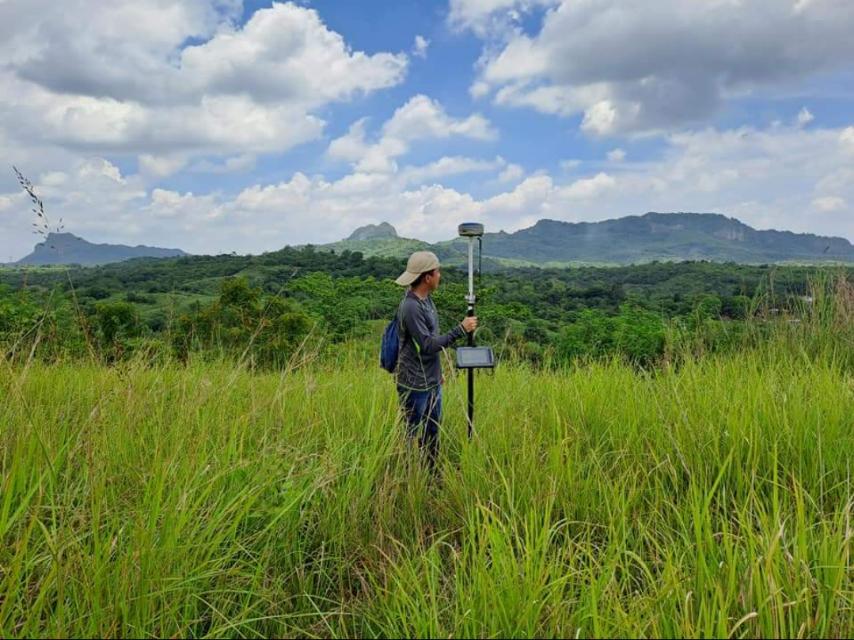
We invest continuously in modern surveying technologies, including drones (UAVs), GNSS positioning, and total stations, paired with advanced geospatial software like Civil 3D, AutoCAD, and GIS platforms. This commitment to innovation allows us to provide engineering-grade data and geospatial intelligence that support both small-scale landowners and large-scale infrastructure projects.
Over the years, we have earned the trust of clients from both the private and public sectors by consistently delivering results that are accurate, on time, and fully certified. Whether you need a relocation survey for property titling, topographic surveys for site design, or strip surveys for infrastructure development, MLL III is your dependable partner every step of the way.
Our mission is to deliver high-quality, affordable, and legally compliant land surveying and mapping services that empower better decision-making and sustainable development across the Philippines.