Hydrographic and Bathymetric Surveys are specialized services focused on mapping underwater environments. While hydrographic surveys provide general data about water bodies, bathymetric surveys specifically measure the depth and shape of underwater terrain, often producing detailed 3D models of the seabed, riverbeds, reservoirs, and coastal areas. These surveys are essential for safe navigation, marine engineering, coastal planning, and environmental protection.
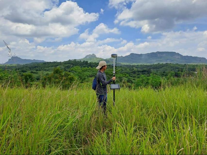
At MLL III Land Surveying and Mapping Services, we combine hydrographic and bathymetric techniques to deliver accurate, high-resolution underwater maps. Using advanced echo sounders, GNSS technology, and GIS integration, we help clients achieve safe, sustainable, and compliant marine and water-based projects.
Services
Navigation Safety: Ensures vessels can travel without hitting underwater hazards.
Marine and Port Development: Provides data for dredging, reclamation, and harbor construction.
Flood Control and Drainage: Identifies riverbed conditions for designing flood mitigation systems.
Coastal Erosion Monitoring: Tracks shoreline changes to support coastal management.
Environmental Studies: Records sedimentation, ecosystems, and underwater habitats.
Hydropower and Irrigation: Assesses reservoir capacities and flow patterns.
Without hydrographic and bathymetric surveys, projects risk navigational accidents, poor engineering design, or environmental harm.
Services
Planning and Permits – Define project scope and secure CAAP/DENR approvals if needed.
Field Setup – Calibrate single-beam or multi-beam echo sounders, GNSS receivers, and tide gauges.
Data Collection – Conduct systematic sounding along survey lines from vessels or platforms.
Tidal Corrections – Record tide levels and apply adjustments for depth accuracy.
Data Processing – Generate bathymetric charts and digital terrain models (DTM).
Validation and Reporting – Cross-check against benchmarks and prepare certified outputs.
Services
Accurate underwater mapping for engineers and developers
Legal documentation for ports, bridges, and marine projects
Support for disaster management and flood modeling
Enhanced safety for navigation and dredging activities
All surveys comply with the Geodetic Engineering Act (RA 8560) and standards from DENR, MARINA, DPWH, and LGUs. Certified by PRC-licensed geodetic engineers, results are admissible for permits and project approvals.
Single-beam and multi-beam echo sounders
GNSS positioning and tide gauges
Hydrographic and GIS software for data processing
3D bathymetric modeling tools
Port expansion and dredging projects
River and floodway rehabilitation
Reservoir sedimentation studies
Coastal erosion and shoreline monitoring
Offshore energy and marine construction
Get in touch with us for accurate and reliable surveying and mapping services in the Philippines. Contact us for a consultation and let us guide your project with precision and expertise.
This website uses cookies to provide you with the best browsing experience.