Profile and Cross-Section Surveys are essential surveying methods for infrastructure projects that involve roads, canals, bridges, railways, and drainage systems. These surveys provide vertical and cross-sectional representations of land or constructed features, showing how the terrain changes along a specific alignment or corridor.
At MLL III Land Surveying and Mapping Services, we deliver profile and cross-section surveys that are accurate, legally compliant, and ready for engineering design. By providing detailed elevation data and ground profiles, we help engineers, developers, and contractors design projects that are safe, efficient, and cost-effective.
Services
These surveys are especially valuable in projects that require a longitudinal view of land features and their cross-sectional details. Some common scenarios include:
Road and Highway Construction: Engineers use profile surveys to study slopes, design cut-and-fill operations, and establish safe alignments.
Bridge and Canal Projects: Cross-sections are needed to calculate earthworks, water flow, and structural placement.
Flood Control and Drainage: Profile and cross-section data help engineers design dikes, floodways, and drainage systems.
Railway Projects: Elevation data ensures smooth and safe track alignments.
Utility Installations: Pipelines, cables, and water systems need profile surveys to determine depth and slope.
Without these surveys, designs risk being inaccurate, which may result in construction errors, higher costs, or unsafe infrastructure.
Services
At MLL III, we follow a precise process to ensure accuracy and compliance:
Project Consultation – We meet with clients to understand project requirements and determine the extent of the survey.
Route Alignment Identification – We define the alignment of the road, canal, or utility corridor to be surveyed.
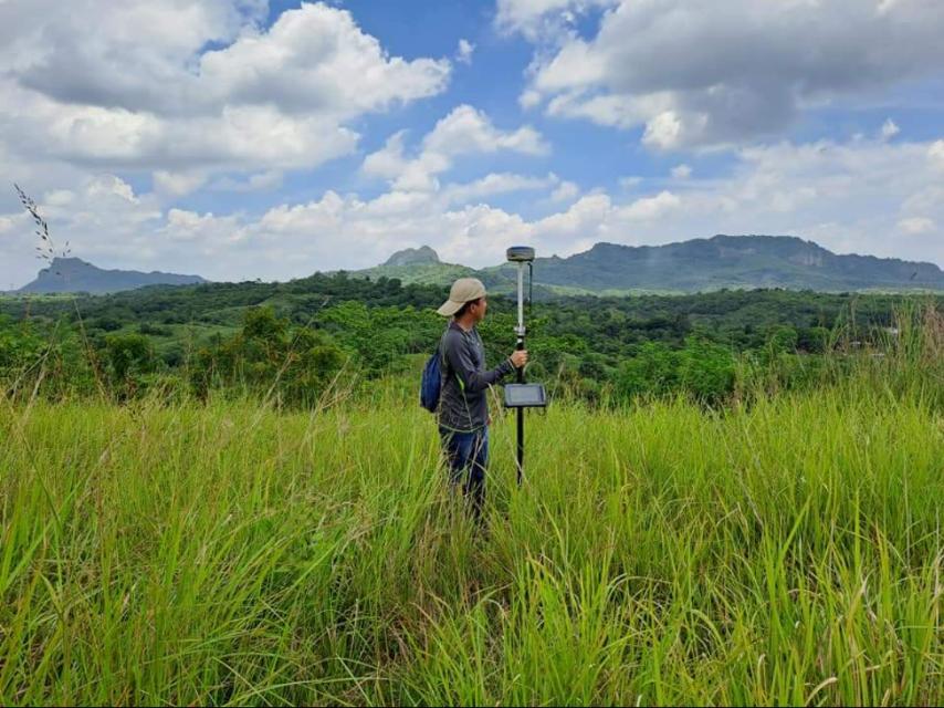
Field Data Collection – Using GNSS positioning systems, total stations, and drones (UAVs), we gather elevation data along the alignment and across selected intervals.
Longitudinal Profiles – Elevation data along the alignment is plotted to show slopes, gradients, and terrain changes.
Cross-Section Views – At regular intervals, cross-sections are created to represent the terrain perpendicular to the alignment.
Data Processing and Mapping – Information is processed using AutoCAD Civil 3D and GIS platforms to produce accurate maps and models.
Validation and Review – Data is cross-checked with benchmarks and previous surveys to ensure accuracy.
Deliverables – Clients receive certified survey plans, profile drawings, cross-section diagrams, and digital files for engineering use.
Services
All our profile and cross-section surveys comply with the Geodetic Engineering Act of 1998 (RA 8560) and relevant technical standards from DPWH, DENR, HLURB, and LGUs. Every survey is carried out and certified by a licensed geodetic engineer (PRC-registered), ensuring that results are valid, legally admissible, and acceptable for permitting and project approvals.
At MLL III, we invest in modern surveying technologies to deliver fast and accurate results:
GNSS systems for precise georeferencing
Total Stations for accurate distance and angle measurements
UAVs/Drones for aerial mapping and topographic data collection
AutoCAD Civil 3D and GIS software for profile and cross-section plotting
These tools allow us to deliver engineering-grade data that integrates seamlessly into construction and design workflows.
Get in touch with us for accurate and reliable surveying and mapping services in the Philippines. Contact us for a consultation and let us guide your project with precision and expertise.
This website uses cookies to provide you with the best browsing experience.